1. Resolution
Figure I-1 shows a plumb bob, a distinct object, at 1x and 5x magnifications. When viewed at higher magnification, the bob appears larger and more of its detail is visible.
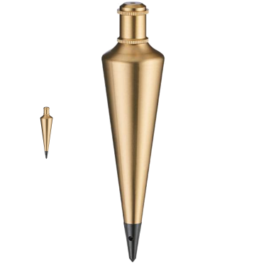 |
| Figure I-1 Plumb Bob Magnification |
The plumb bob is a real object with a specific level of detail that becomes more visible under increasing magnification.
An aerial image is a representation of real objects captured at a specific resolution. Object details are limited by image resolution: with film it is the emulsion grain size, with digital it's pixel size.
Unlike the plumb bob, magnifying the image does not increase object detail. Figure I-2 is a portion of an 9"x9" aerial photograph at 1x and 6X magnification levels. The same building edge is circled in each.
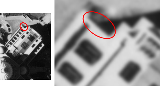 |
| Figure I-2 Air Photo Magnification |
At increased magnification the object gets larger, but the detail level does not increase. It looks blurry because we're approaching the film resolution level.
Figure I-3 is a digitally captured aerial image of a building and parking lot at 1x and 20x magnification levels.
|
|
| Figure I-3 Digital Image Magnification |
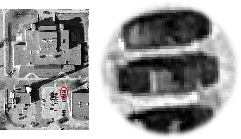
The larger magnification was used in order to show the image pixels. The right image is the three vehicles circled on the left image. As with the photo, objects size increases but detail level does not.
How large are the pixels? The image is part of a countywide aerial digital mapping project. Contract specifications were 1.5 ft rural area image resolution and 0.5 ft urban area resolution. The image is of the University of Wisconsin campus in the city of Platteville so each pixel is 0.5 ft by 0.5 ft. Point objects smaller than the pixel size may have to be identified by other information. For example, utility and light pole positions can be identified by radial displacement and shadows. Others may be harder or impossible. Water valve covers, fire hydrants, survey monuments, and drop inlets are at or below pixel size. If such objects are important to locate on an image (digital or photo), they should be marked with targets before image capture. Figure I-4 shows a targeted horizontal control point (nail in pavement) from an 9 in by 9 in aerial photo flown at approximately 2000 ft above ground level.
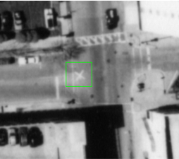 |
| Figure I-4 Aerial Target |
Image resolution limits measurement accuracy. The only ways to increase image resolution is by re-flying the imagery at lower altitude and/or using a scanner with a denser sensor array. Software packages which analyze pixel group characteristics giving sub-pixel level positions generally use sophisticated interpolation algorithms without increasing actual detail.