3. So We're Done, Right?
The Global Positioning System not a production system at the time NAD 83 was being developed. The satellite constellation was sparse, receivers rare and expensive, and usable observation windows short. GPS observations (except for a literal handful) were not included in the NAD 83 adjustment.
Wisconsin's Department of Transportation (WIDOT) was an early adopter of GPS. After NAD 83 completion, WIDOT measured GPS baselines between adjusted control stations. First order points from different triangulation chains were used to compare computed with measured baselines. WIDOT found that the GPS baselines were more accurate than the control network. As with NAD 27, accurate GPS measurement would have to be degraded to fit the less accurate NAD 83 control network. WIDOT decided to densify the state's control network, measure it with GPS, and readjust it to NAD 83. Competed in 1991, the network was named the Wisconsin HPGN (High Precision Geodetic Network), Figure D-7.
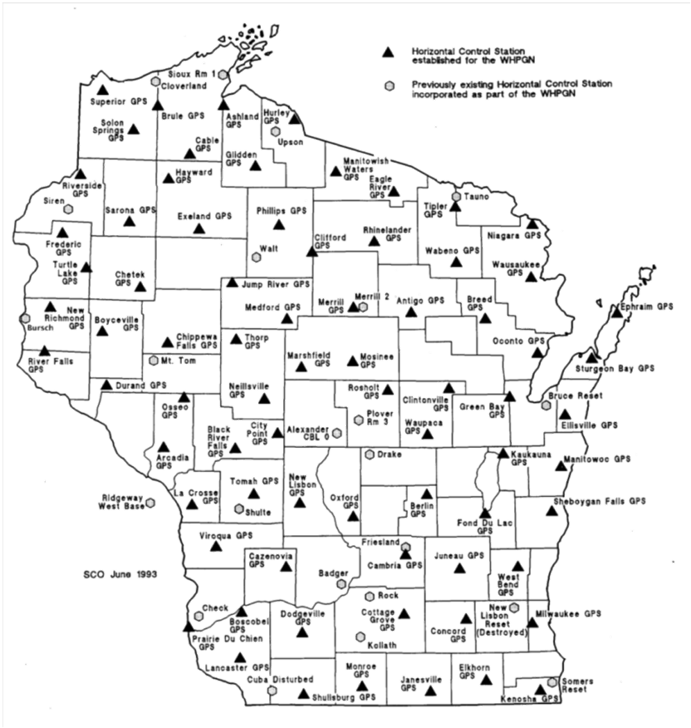 |
| Figure D-7 Wisconsin HPGN |
Because it was a readjustment of the NAD 83, it was referred to as NAD 83 (91) and the original as NAD 83 (86). Over time, aditional stations were added or replaced and parts of the network remeasured. The entire network was readjusted in 1997 creating NAD 83 (97). In the meantime, Minnesota did something similar and readjusted their network in 1996 creating NAD 83 (96).
See where this is headed?
More states began densifying, measuring, and readjusting their own networks creating state HARNs (High Accuracy Reference Networks). A problem caused by individual HARNs was where they abutted to other state networks. Because they were individually readjusted, there were inconsistencies across the networks.
When enough states had created individual HARNs, NGS decided to incorporate them all into a single readjustment. This became NAD 83 (NSRS2007). Part of this adjustment involved removing older lower quality measurements. The network was readjusted again creating NAD 83 (NSRS2011) with emphasis on GPS measurements. Many stations measured with only older conventional technology were not included in this readjustment. Each readjustment is a refinement of NAD 83, not a new datum.
Positions between readjustments did change, but not as significantly as the NAD 27 to NAD 83 (86) changes. Table D-2 shows the average position shifts in meters between readjustments in Wisconsin. The biggest change is from NAD 27 to NAD 83 (96). Subsequent changes were considerably smaller.
| Table D-2 Position Shifts in Wis |
||
| Shift | North (m) | East (m) |
| NAD 27 to NAD 83 (86) | -2.231 | -9.987 |
| NAD 83 (86) to NAD 83 (91) | +0.155 | +0.057 |
| NAD 83 (91) to NAD 83 (97) | +0.014 | -0.029 |
| NAD 83 (97) to NAD 83 (2007) | 0.000 | +0.008 |
| NAD 83 (2007) to NAD 83 (2011) | -0.002 | +0.018 |
Each datum readjustment is referred to as a datum realization. Not all control stations were included in all realizations. Stations only with older less accurate measurements were removed and more GPS-based stations added to maintain reference network integrity.
NGS plans to replace NAD 83 and NAVD 88 with a single 3D datum by 2022. More information is on their New Datums page.
Stay tuned...