Ground - Grid : Simple, Right?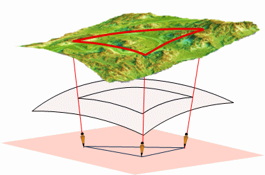
Mentoring Monday, 10 March 2025
Most of our measurements are reduced to a horizontal plane reference system. Going from a 3D earth to a 2D plane means the measurements will be distorted. In this session we'll discuss how a grid coordinate system is created from Earth models and projection surfaces. Distortion compensation will be covered and demonstrated with example problem(s).
Material
- Powerpoint pdf (two slides per page)
- Assignment - yup, try to do it before the presentation
updated: 07 Mar 2025